FEATURES
fieldSPoT comprises a mini GIS system for management of your field data. Create a new project, import and share data or search your data. You can also record new location data such as points and tracks while you're in the field. Easily edit attributes on your data or attach photos to locations.
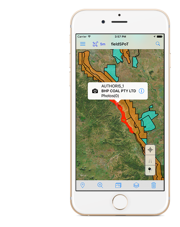
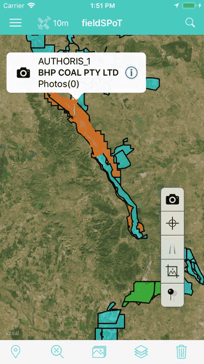
Map View
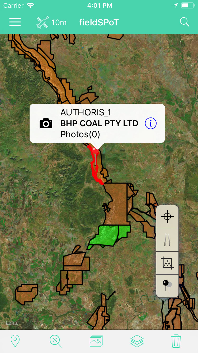
- Display and edit your GIS data
- Record your location as points or tracks
- Attach photos to GIS data
- Search your GIS attributes
Layer View
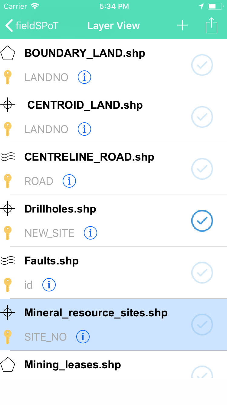
- Import and Export your GIS data
- Select layers for display
- Create new layers
- Edit GIS attributes
Search View
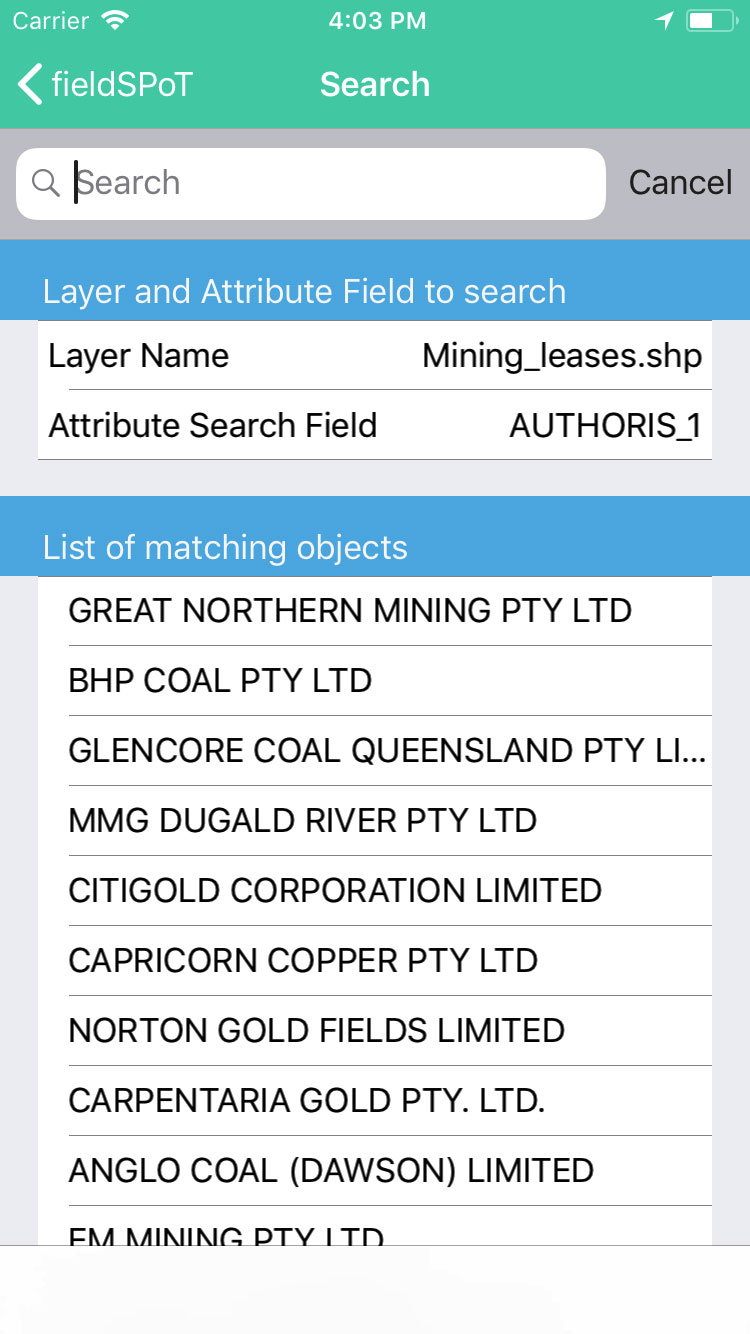
- Search and display objects matching search criteria